Shannon Ojea's Map Catalog
Sunday, July 17, 2011
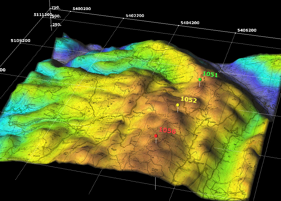
DEM
http://www.sciencegl.com/gis_dem/map_dem_gis_3d_b.jpg
DEM stands for digital elevation maps. Different colors are used to show different elevations in the given area.
No comments:
Post a Comment
Newer Post
Older Post
Home
Subscribe to:
Post Comments (Atom)
No comments:
Post a Comment