http://www.izera-darksky.eu/izera/granice_obszaru.jpg
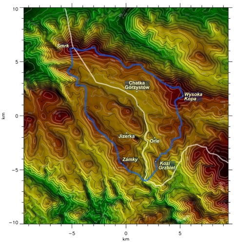
A hypsometric map is one that shows different elevations. This map shows the different elevations by using different colors, the red shows areas of higher elevation and the green shows areas of lower elevation.
No comments:
Post a Comment